Description
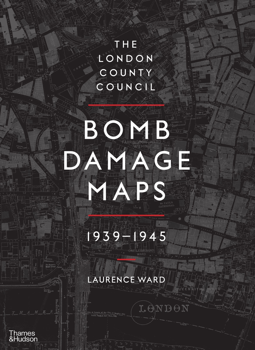
Between 1939 and 1945, London and its environs experienced destruction on a huge scale, with air raids and rocket attacks reducing buildings and entire streets to rubble. The London County Council Bomb Damage Maps speak of the human experience of war – of loss and camaraderie, of tragedy and heroism – conjuring up the days of blackout and the ‘Spirit of the Blitz’. They tell a story, moreover, that was echoed in towns and cities across Britain and throughout the world.
The maps, meticulously hand-coloured to document the level of damage being wrought, represent a key record of the destruction, the impact of which can still be seen in the capital’s urban and social landscapes. Featuring new, high-quality images of each of the 110 maps that make up the set, complete with archival tables of often grim statistics, this book marks the first time these remarkable documents – part historical artifacts, part social history – have been published for a general audience.
The book also includes a series of extraordinary photographs of the damage done to the City of London in particular, taken with a sympathetic yet unflinching eye by police constables Arthur Cross and Fred Tibbs.


